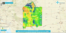
Using Geographic Information Systems (GIS), weather stations, rain gauges, and validating different precipitation models, a historical record of precipitation for New Mexico was created from 1984-2013 using the Parameter Relationship Independent Slope Model (PRISM) 800-meter grids. Validation was done through an ordinary least square linear regression.

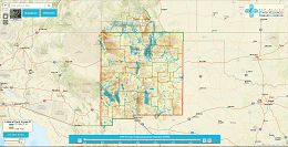
Using Geographic Information Systems (GIS), remote sensing, and ground truthing this project aims to quantify the amount of Evapotranspiration across New Mexico. Three models are being used to model this physical process: ALEXI, SSEB, and MOD16. Validation of these models was done using data from Eddy Covariance flux towers.

NM Environmental Department funded program to asses the feasibility of using produced water for alternative uses in Southeastern New Mexico (Lea and Eddy Counties) in order to increase the sustainability of freshwater aquifers.
Estimating Land Cover in Acequia-Irrigated Valleys

